History made!

Making it happen!
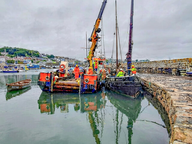
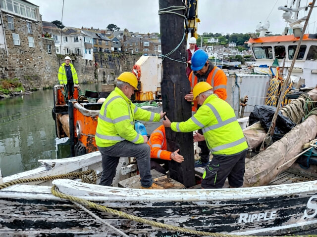
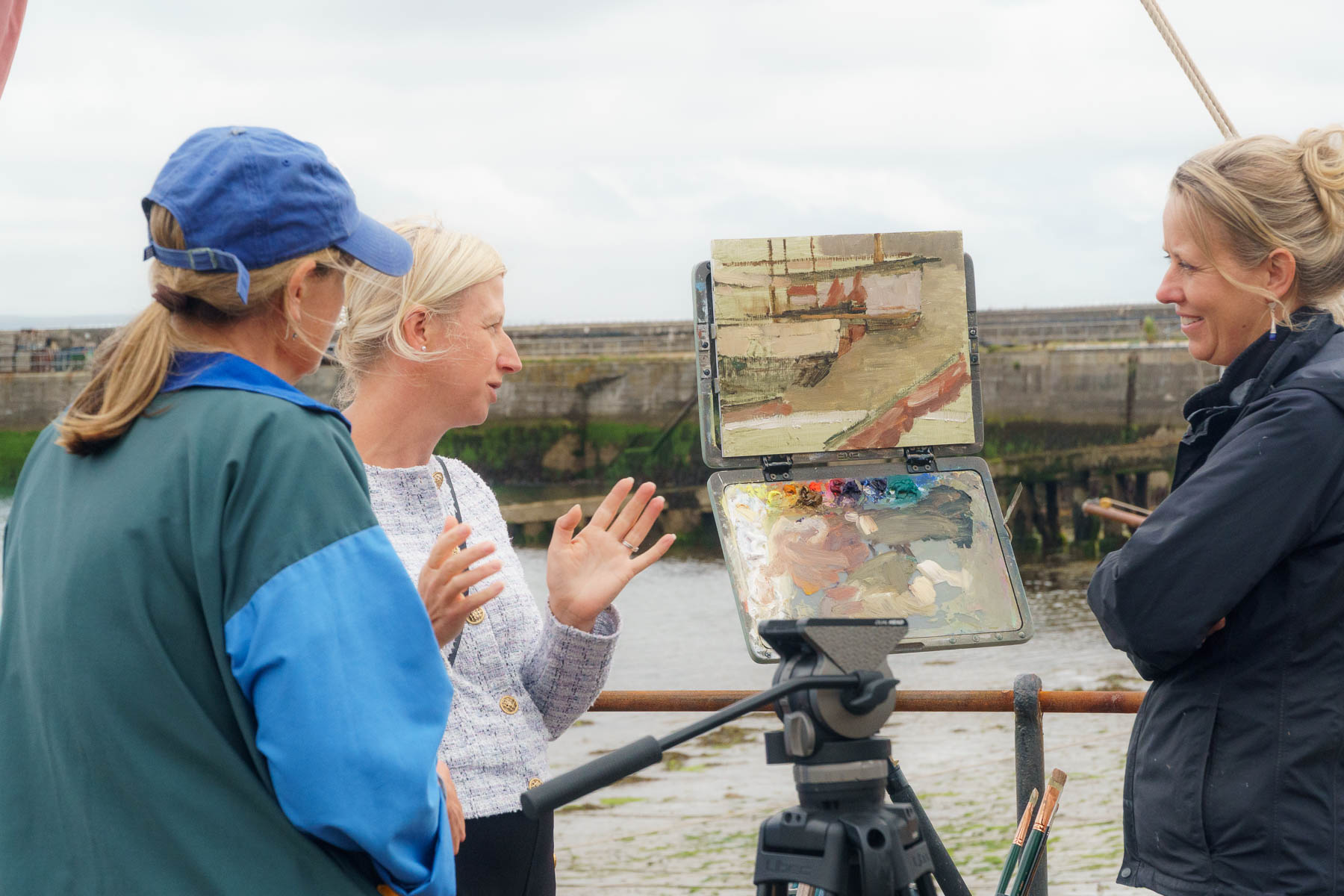
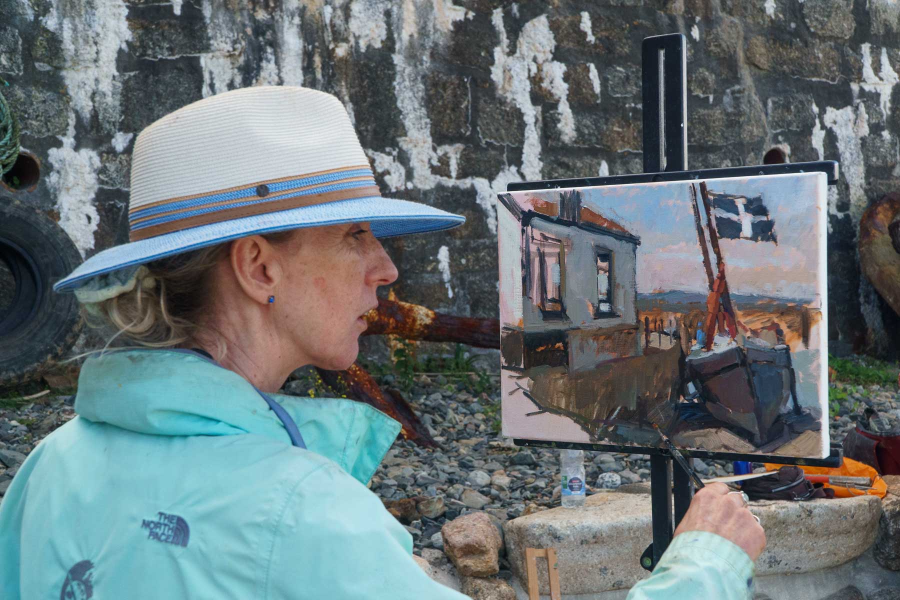
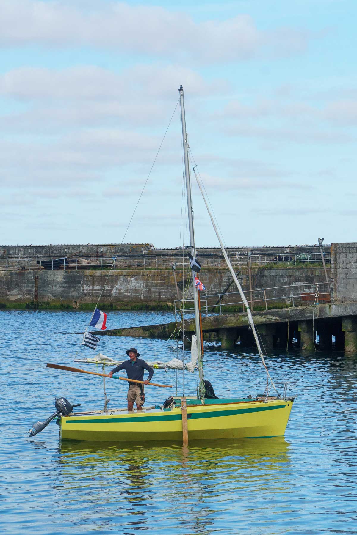
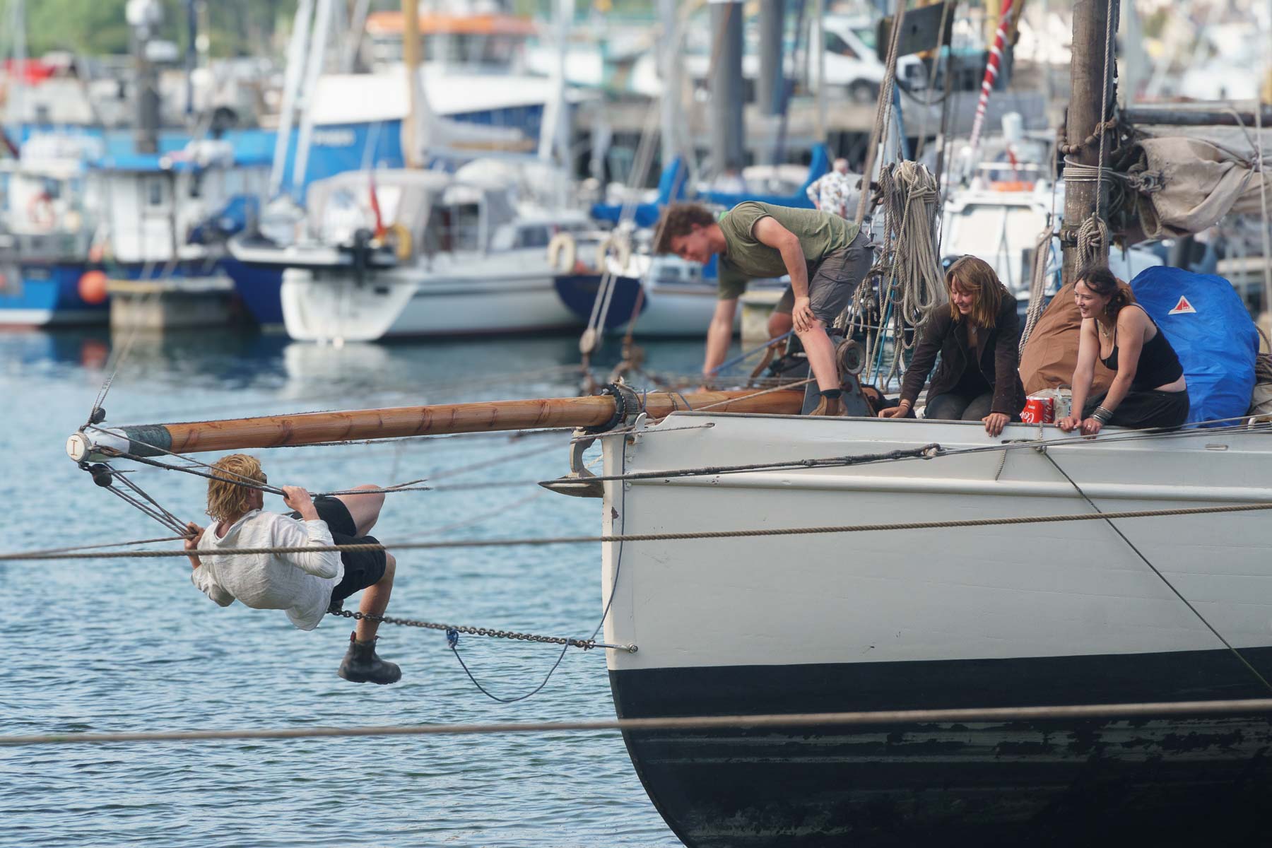
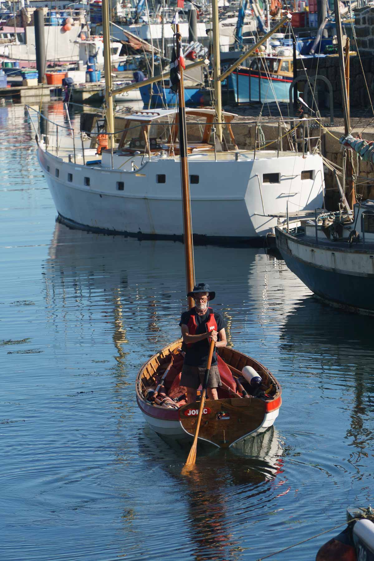
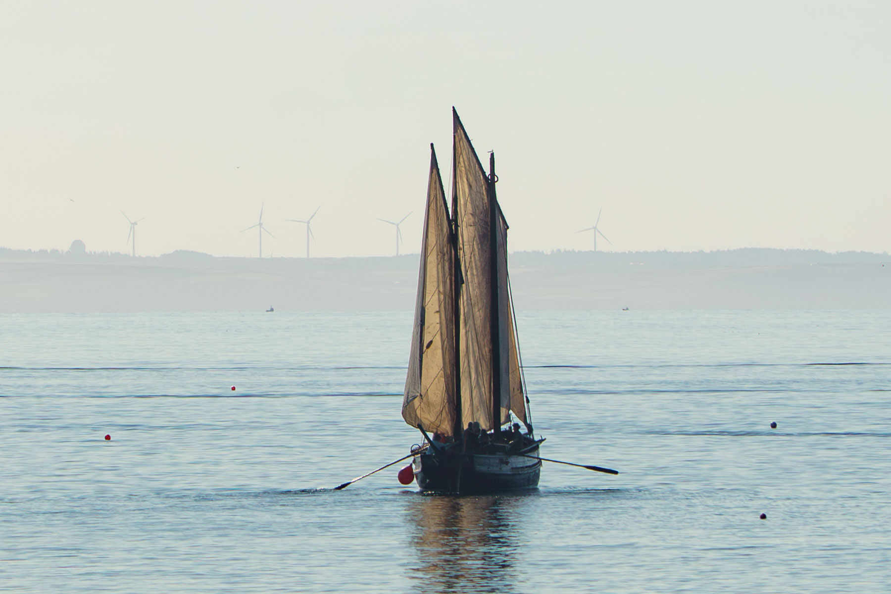
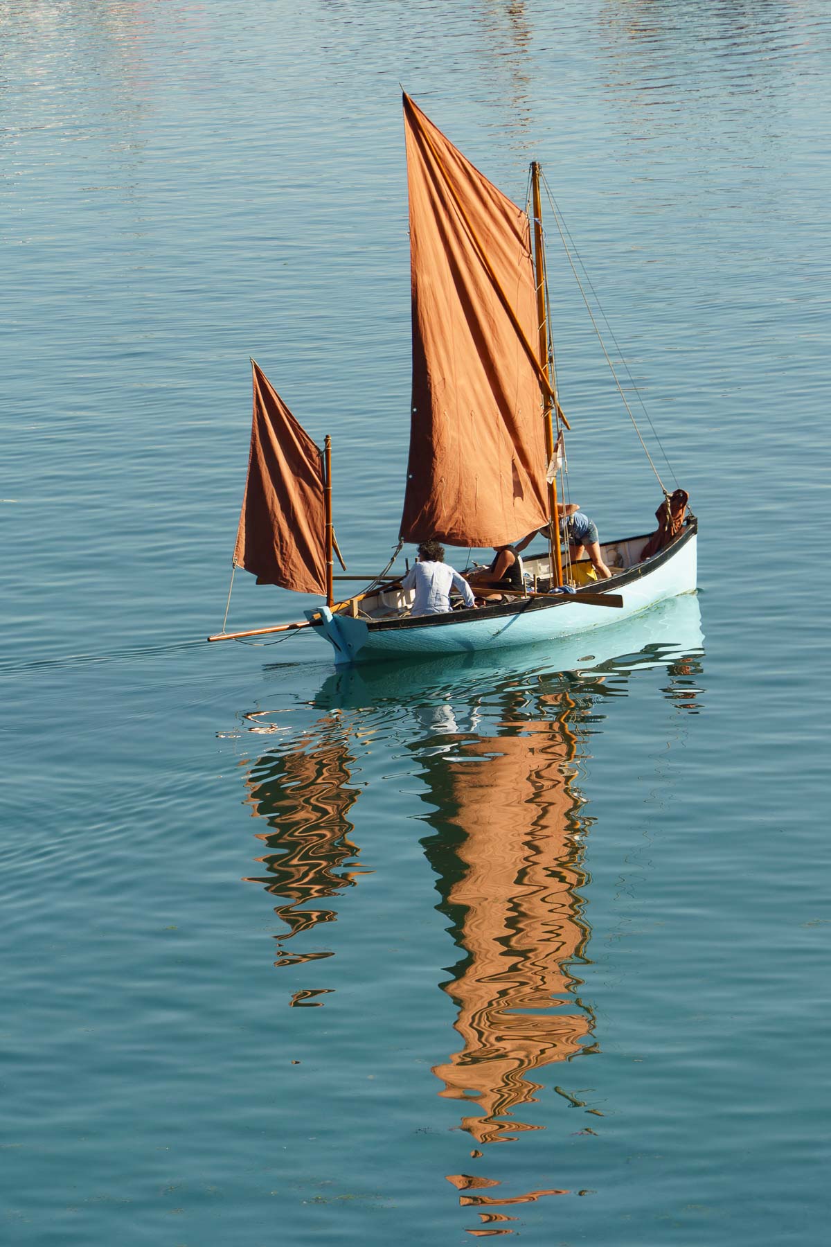
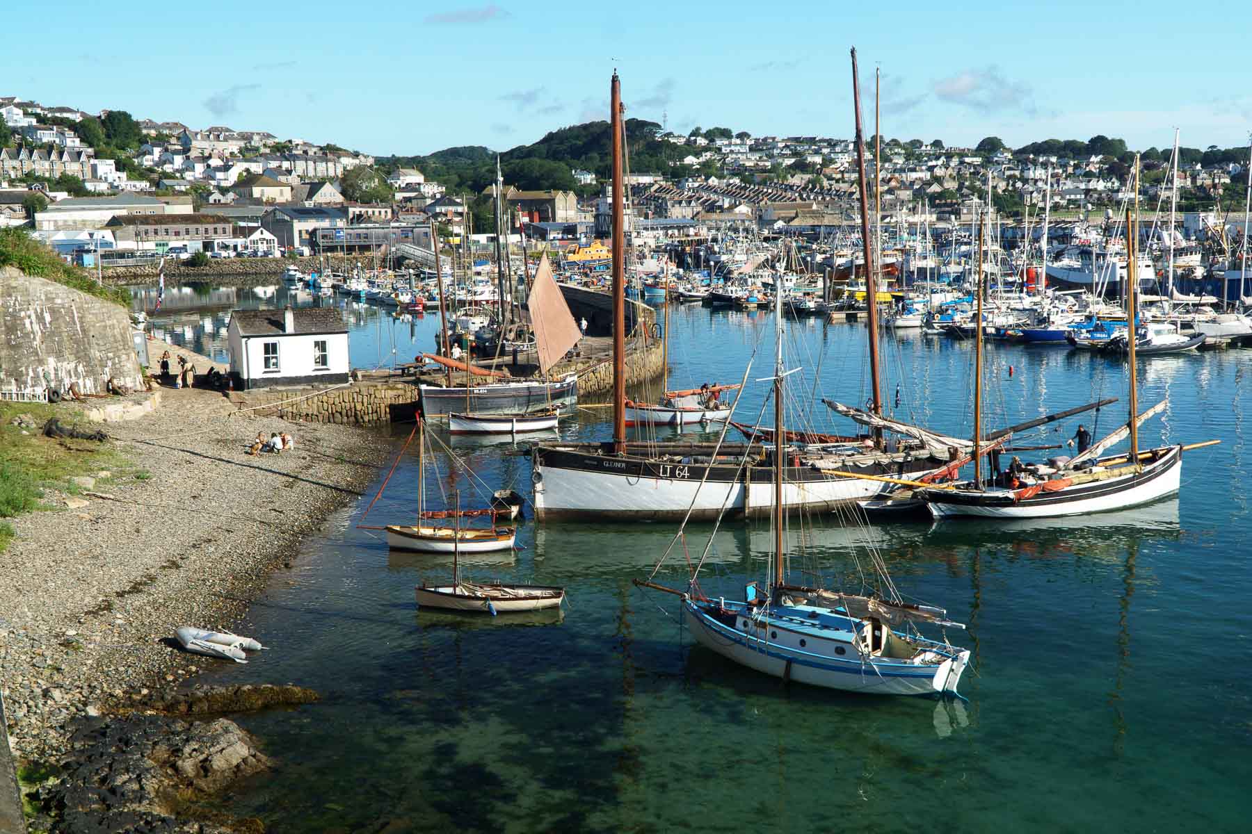
Enjoy this sequence of photos recording the event to make history come alive – all made possible due to the efforts of the project team together with financial and practical support from Historic England and Newlyn Harbour.
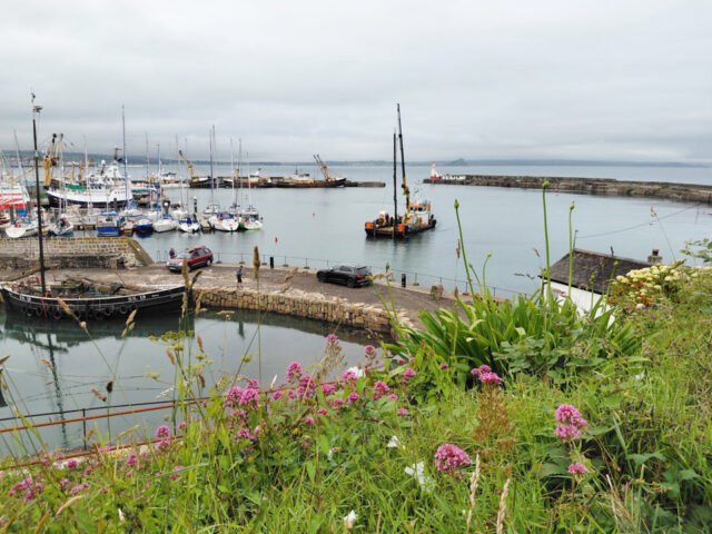
History in the making
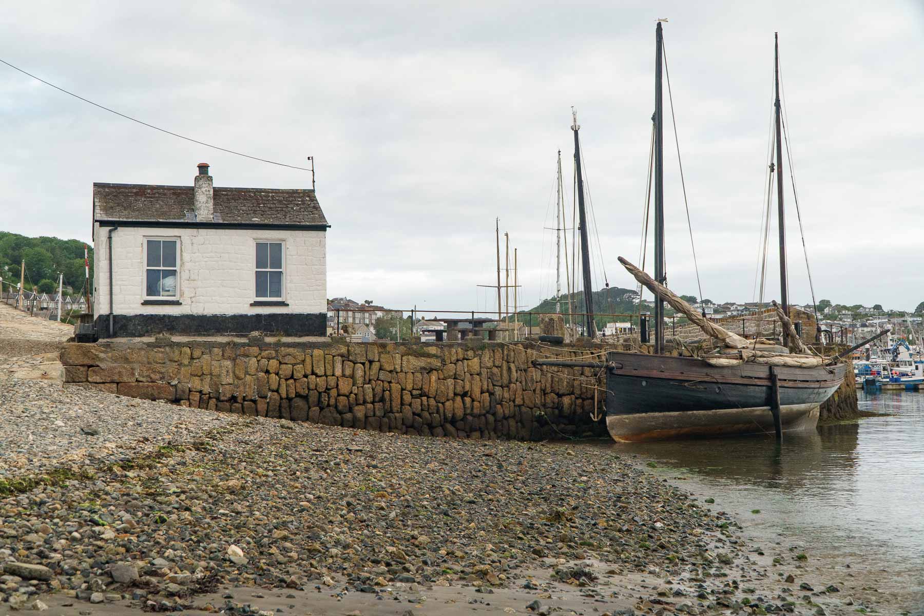
This historic photograph, taken in 1888, shows how sailing fishing boats used the beach off the Old Quay to anchor – or kedge. At the time it was taken, the North Pier was still under construction and the rapidly growing fleet of pilchard luggers was taking full advantage of the protection from the weather offered by the the new South Pier.
Wind the clock forward 138 years to July 2026 and the Cornwall Maritime Trust, now based in the Old Harbour, organised a Party on the Beach to re-create such a scene. What is even more remarkable is that the CMT’s Barnabas could even be in the is old photo as she was built some 145 years ago in 1881!

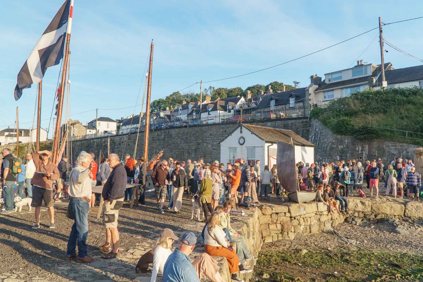

Newlyn Old Harbour Brought to Life with Inaugural ‘Boats on the Beach’ Event
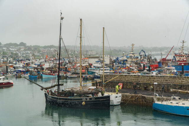
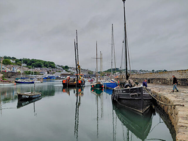
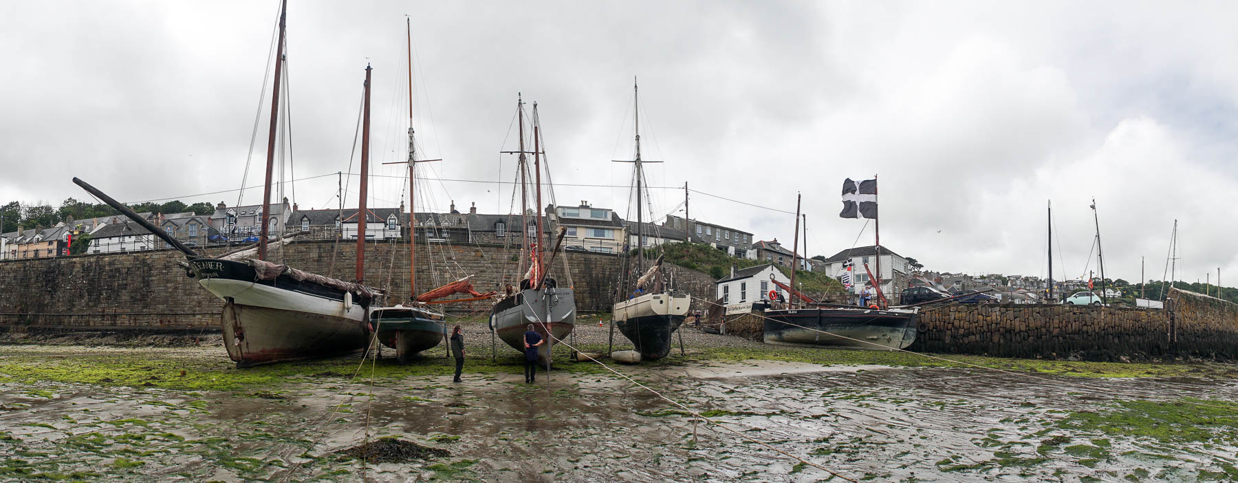
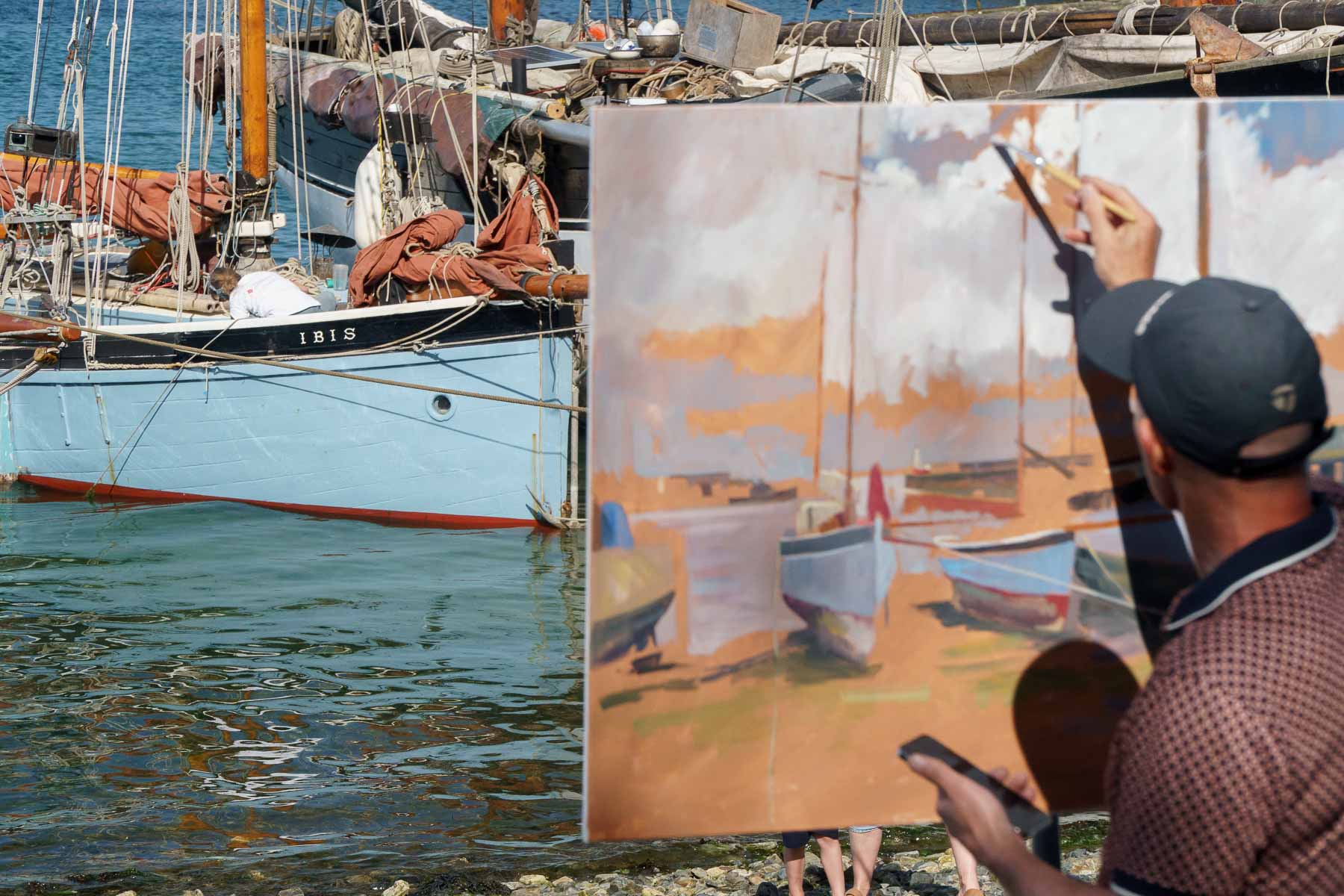
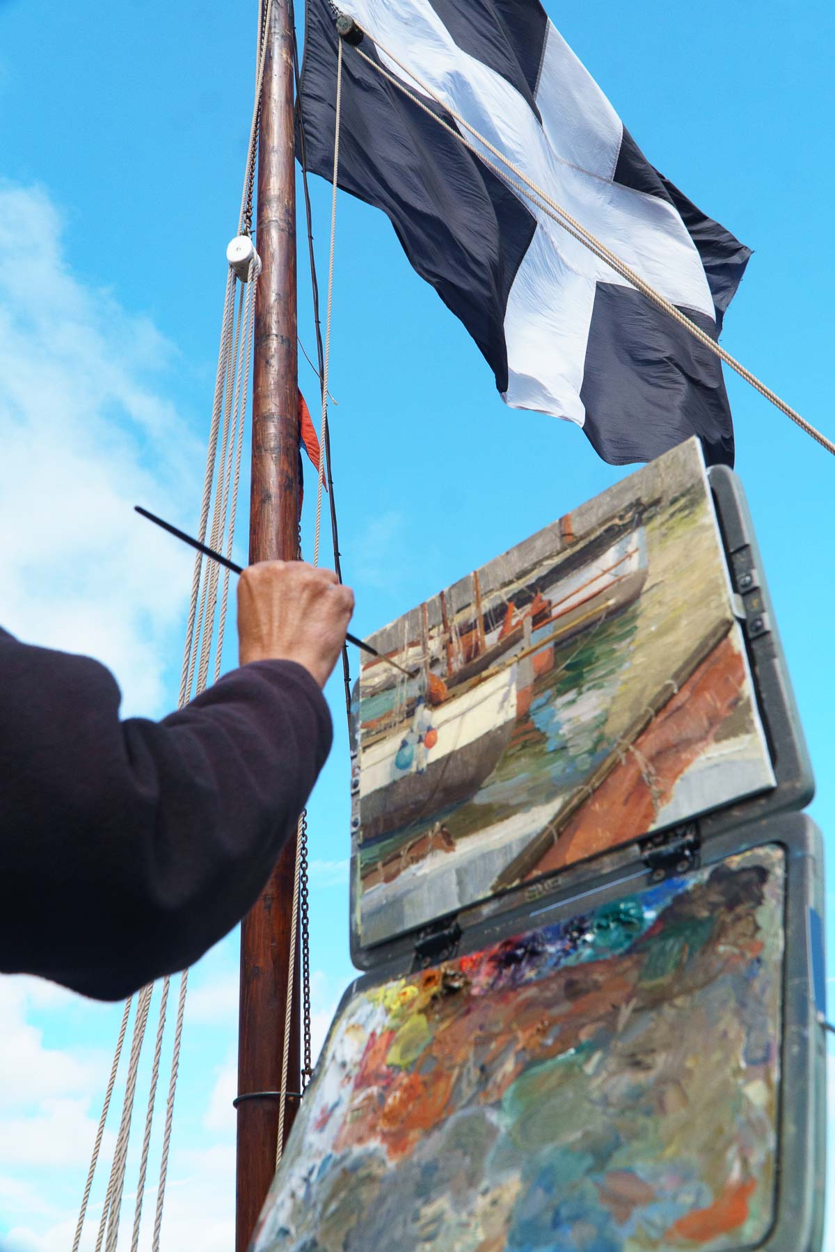
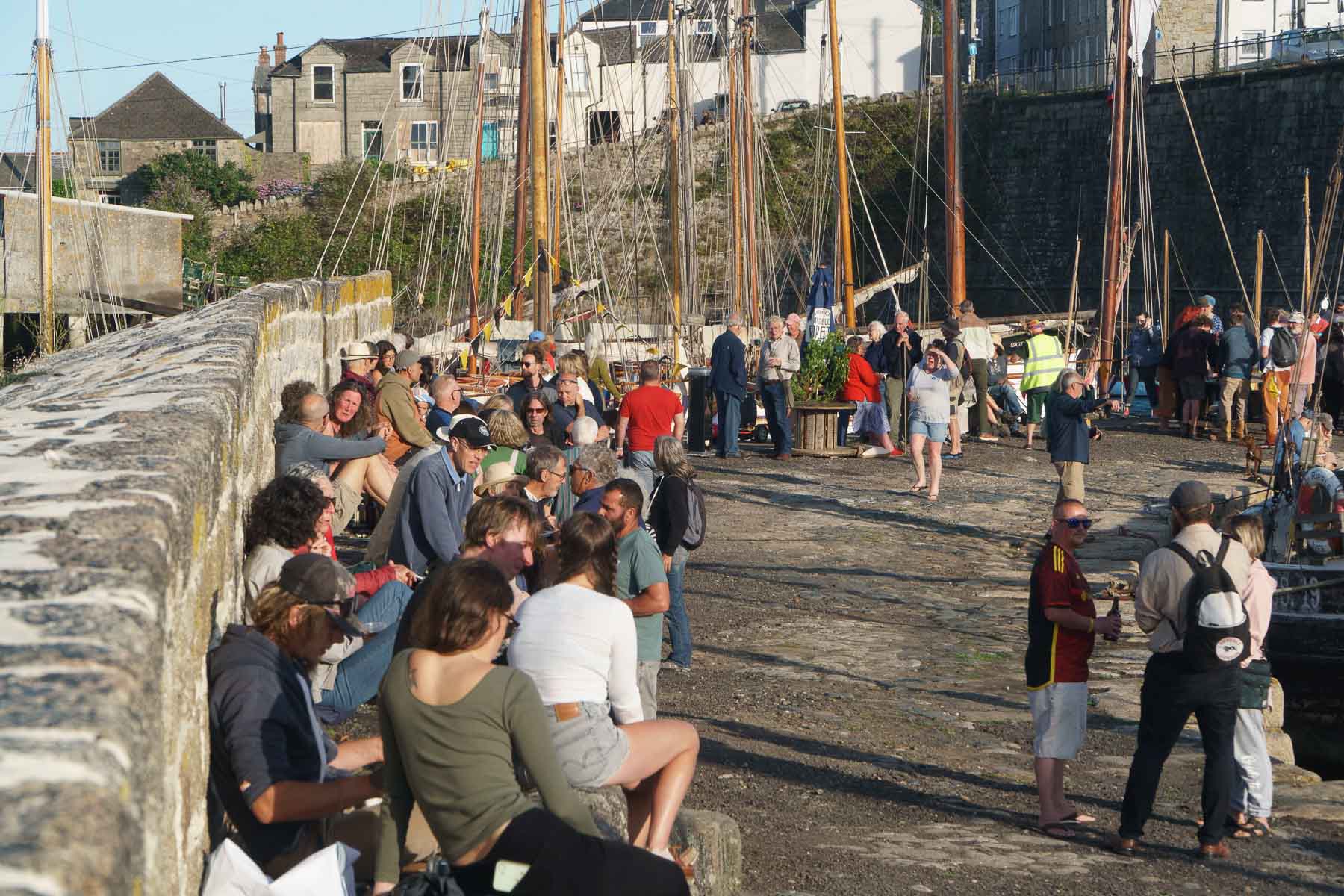
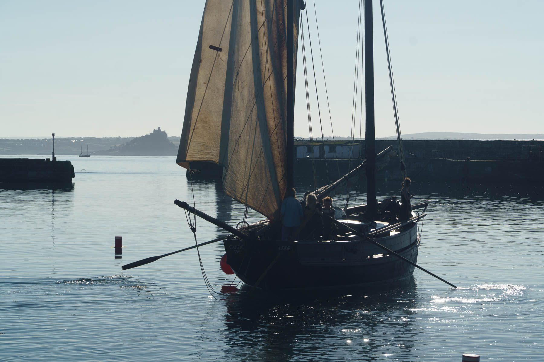
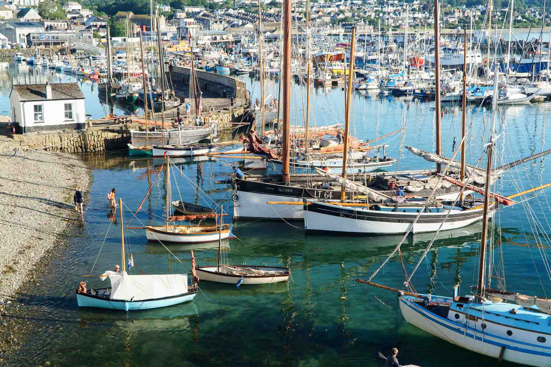
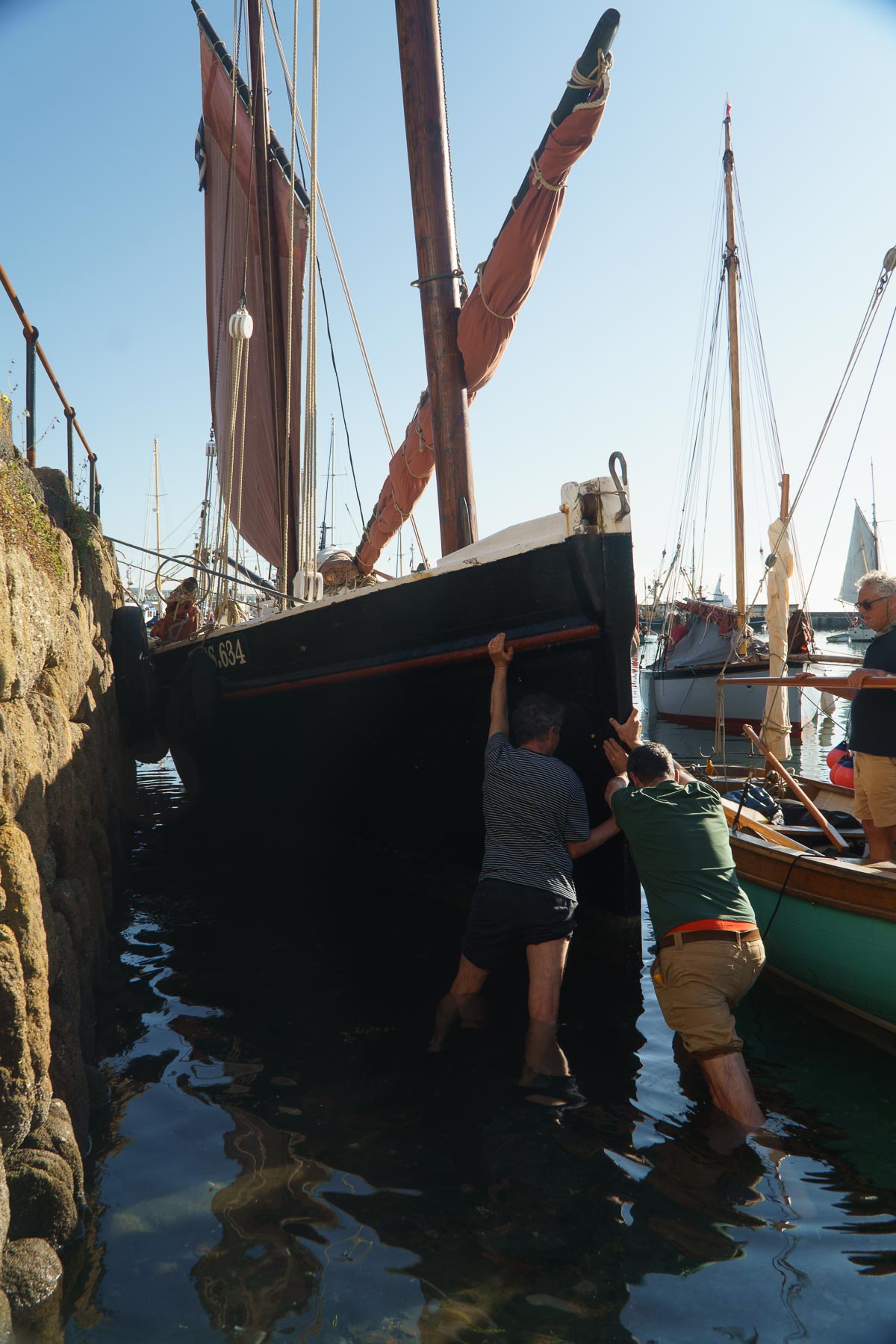
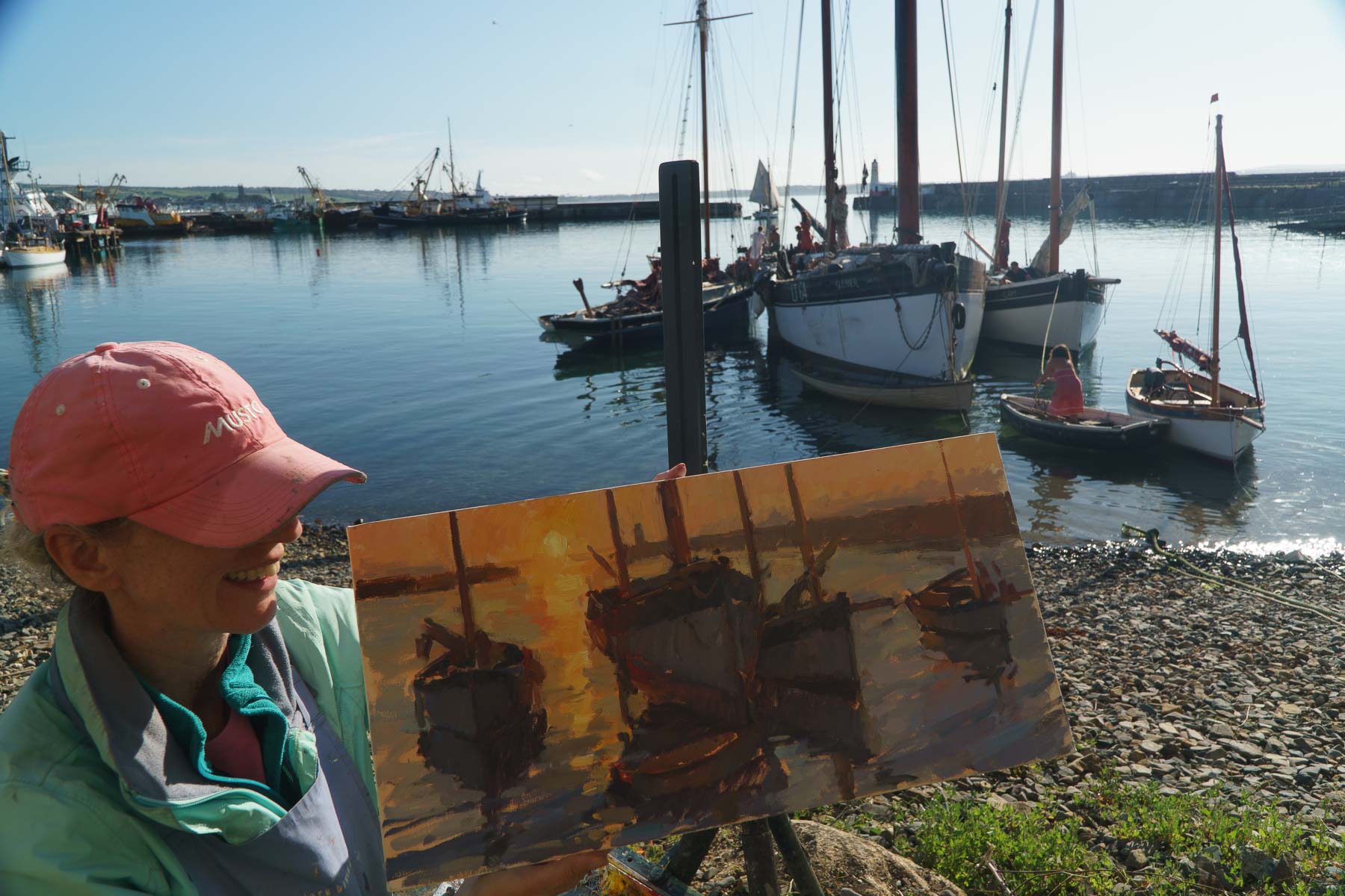
On Thursday, 2 July 2026, the newly restored Newlyn Old Harbour was transformed into a vibrant scene from the town’s fishing past during the inaugural ‘Boats on the Beach’ event. Organised by the Cornish Maritime Trust (CMT), the celebration drew members of the community, local artists, and visitors to witness a fleet of more than 25 historic working boats kedged onto the beach beneath the harbour’s granite walls.
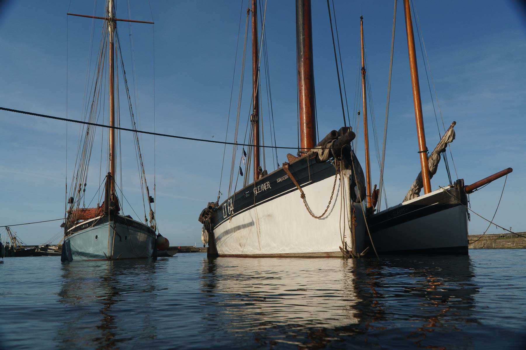
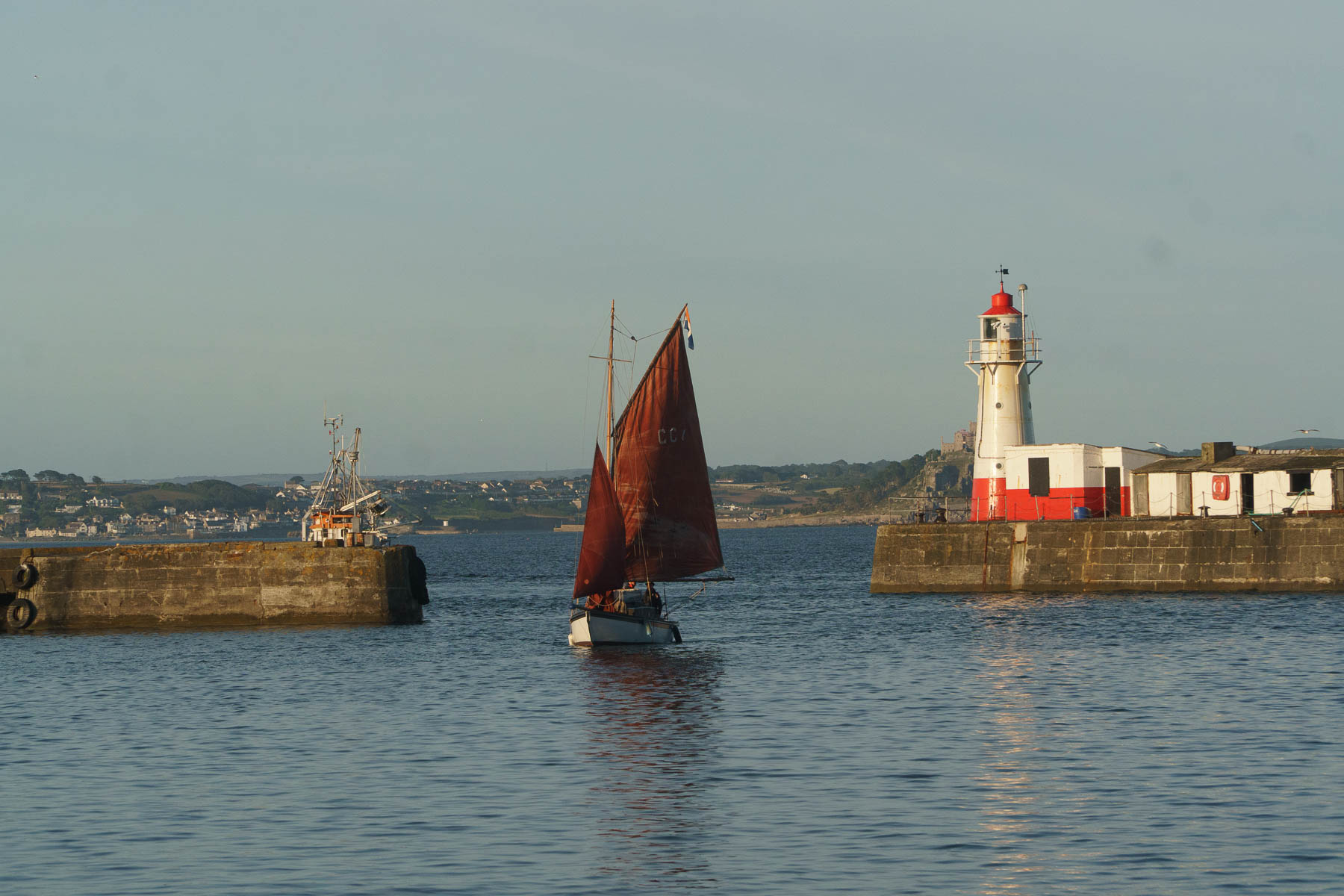
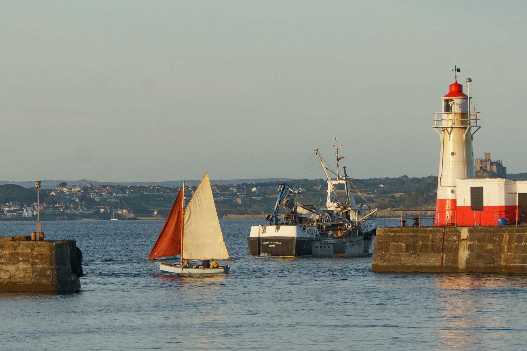
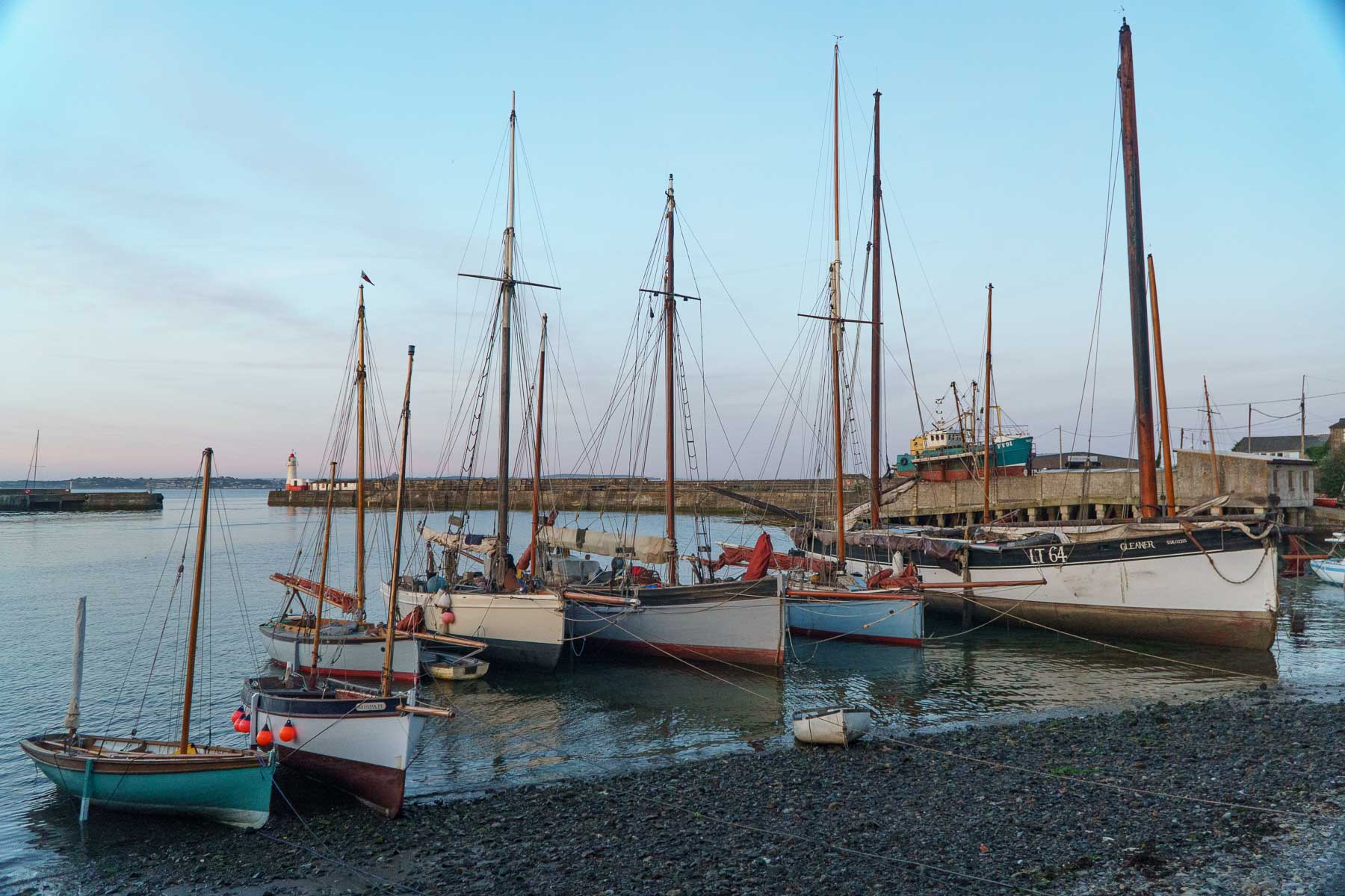
The display featured a range of traditional vessels, from smaller craft to the 60ft 1878 Lowestoft drift netter Gleaner, the 1911 Looe dipping lugger Guide Me, and the 56ft pilot cutter Pegasus. The event served as the first realisation of a long-held vision shared by the Cornish Maritime Trust and the Newlyn Old Harbour Restoration Project: to see the harbour filled once again with traditional working vessels.
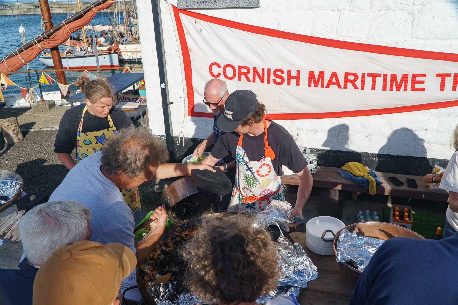
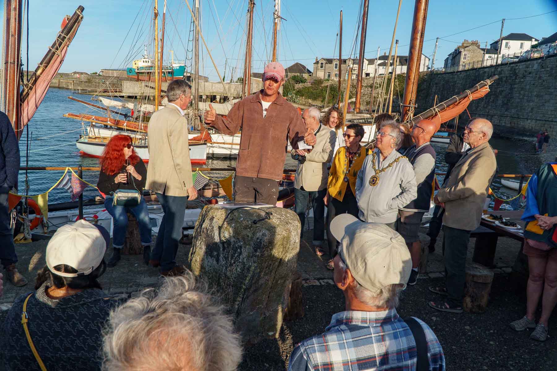
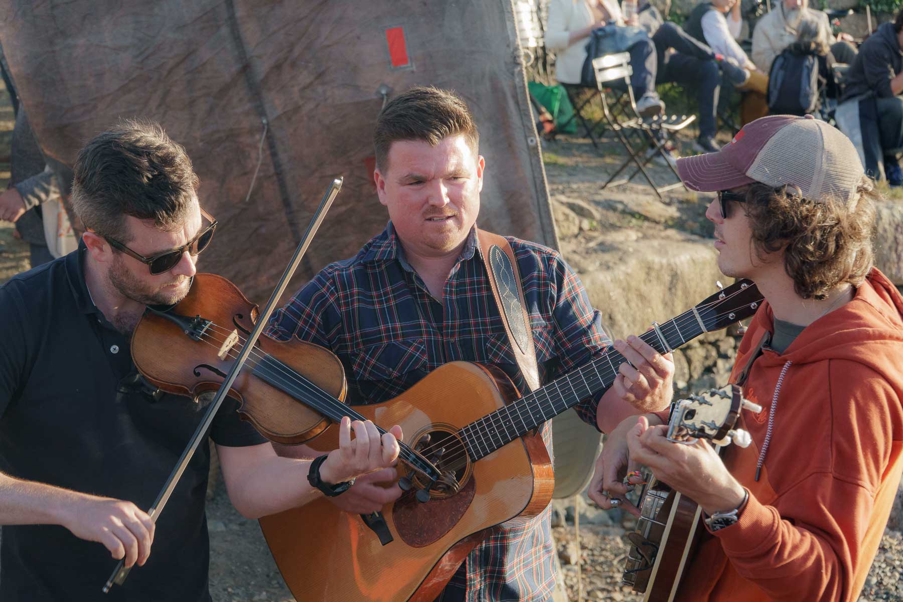
Attendees partied to live music from the bluegrass band Flats & Sharps aboard the 145-year-old lugger Barnabas, along with local seafood and drinks. The event was attended by the Lord-Lieutenant of Cornwall, Col. Sir Edward Bolitho, and the Mayor of Penzance, Cllr Andy Law, both of whom commended the collaborative efforts of the volunteers and agencies involved in the restoration and the event’s success.
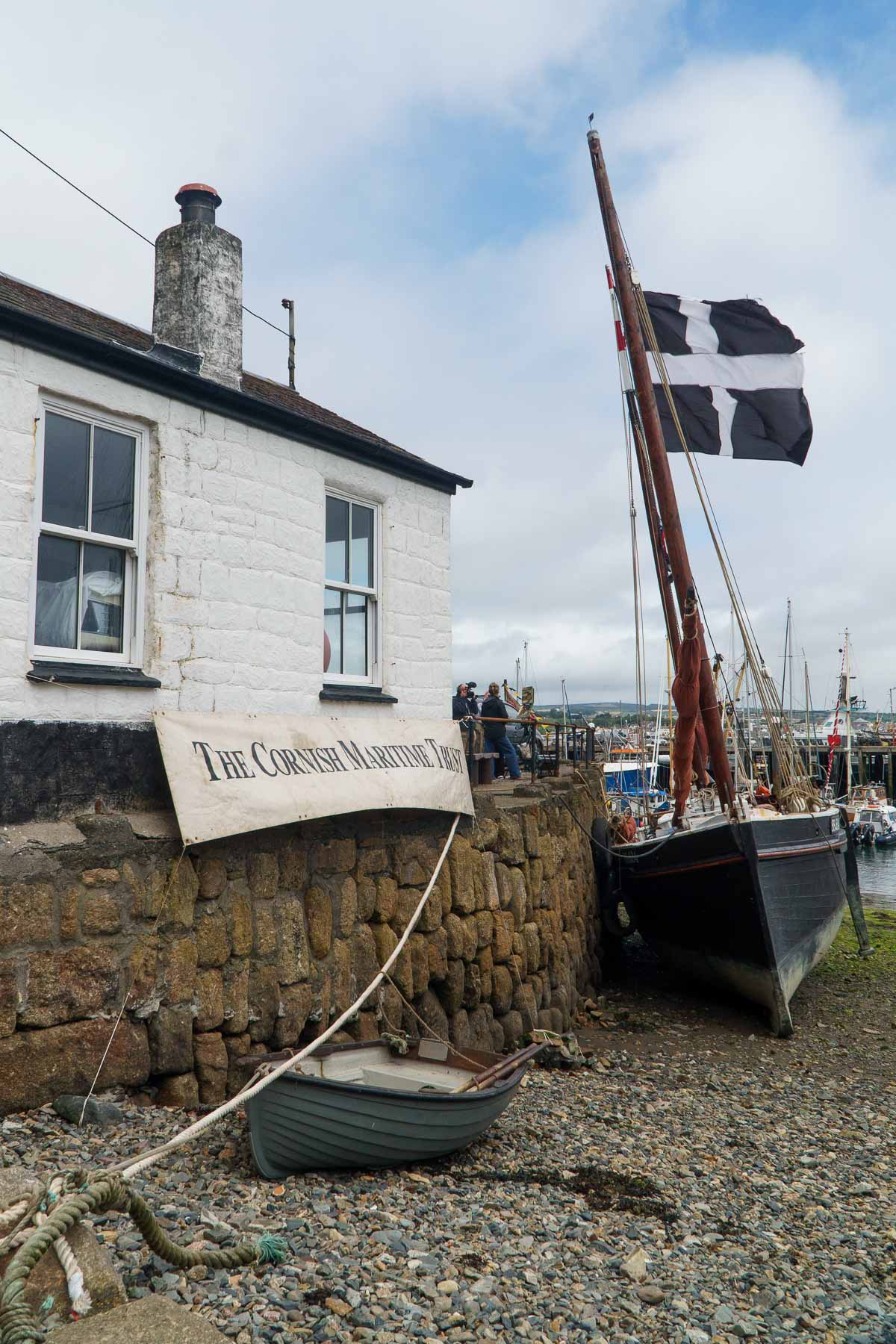
The day also served as the launch of the Cornish Maritime Trust’s fundraising campaign to renovate ‘The Fisherman’s Rest’ on the Old Quay. The project aims to transform the building into a Maritime Heritage Community Hub, providing a dedicated space for schools, community groups, artists, and musicians to engage with Newlyn’s rich maritime history. Organisers reported that the event successfully raised an estimated £2,000 toward their £7,000 target.
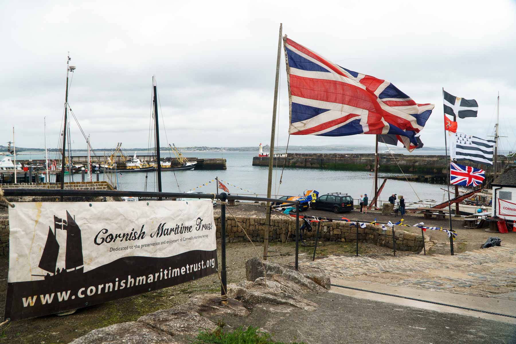
A huge ‘thank you’ must go out to the band of regular volunteers who made it possible along with the invaluable financial and historic architectural support from Historic England and the local businesses that carried out the more technical construction and restoration work.